Master of Science - Geoinformatics (Remote sensing & GIS)
MGRDPR University
Gadag12.2026

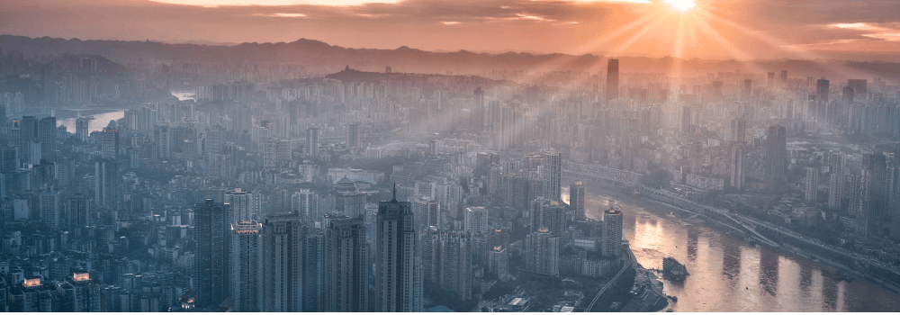

GIS (Geographic Information Systems) work covers collecting, analyzing, managing, and presenting geographical data to support decision-making across various industries. GIS professionals use specialized software and programming tools to visualize spatial relationships, design digital maps, and extract insights from both field-collected and digital data.
GIS for Urban and Rural Planning,
Remote Sensing and Image Processing,
Application Development for Geospatial Solutions,
Rainfall Pattern Analysis and Climate Studies,
Spatial Data Analysis and Visualization,
Environmental Monitoring and SDGs